Trace My Track.
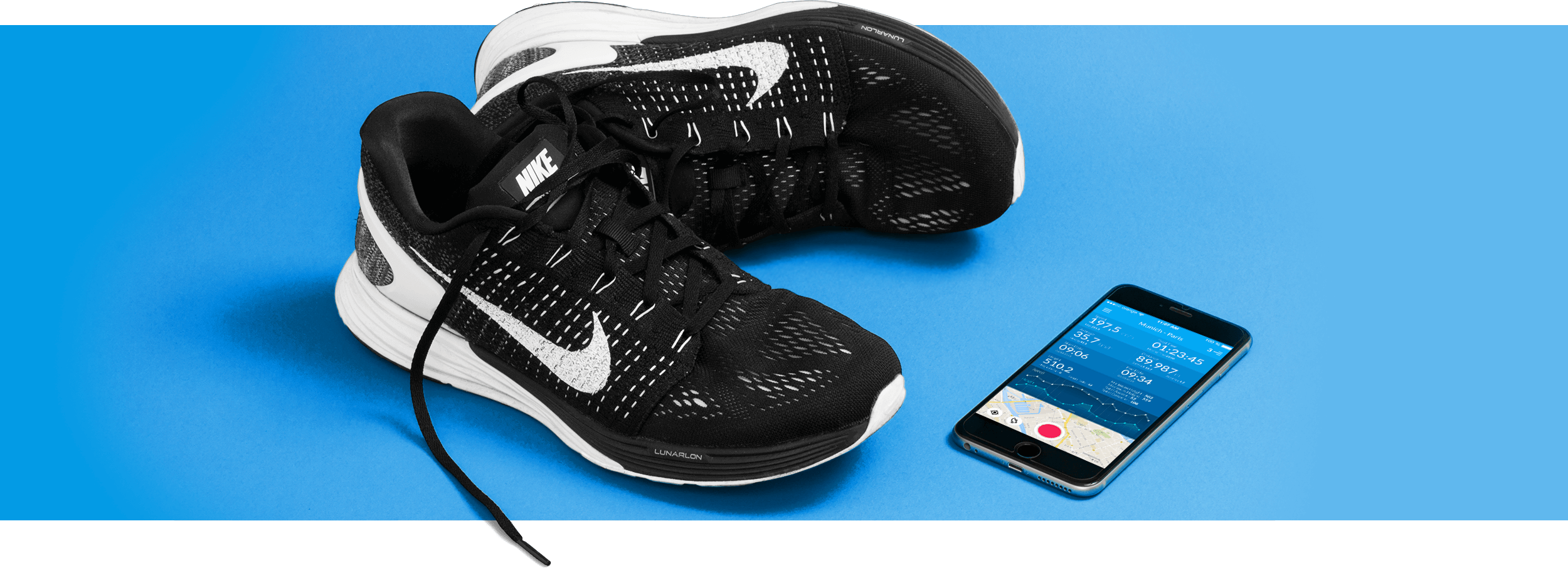
TraceMyTrack is an iOS app designed to record and manage your tracks and individual locations. Record your trips using predefined or individual profiles, view locations live on the map with statistics, tag them, add photos or descriptions. Using TraceMyTrack you can exploit the latest tools for professional tracking.
Challenge
While having most of the backend programing done, the app still needed a re-wiring and user experience design, with the focus of it also being Apple Watch orientated.
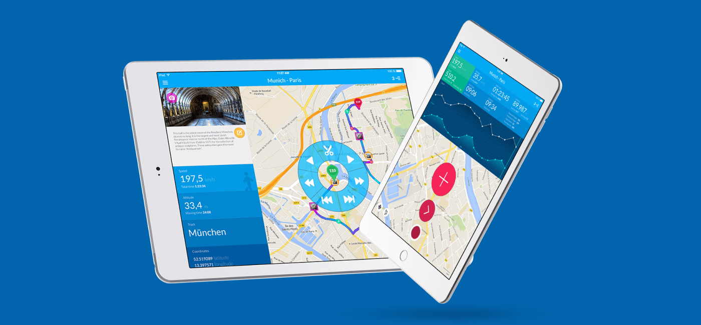
All of the graphic is custom made for varied displays, tablets, in both portrait and landscape mode, smartphones and Apple watch in order not to compromise on the end user's experience.
What we did
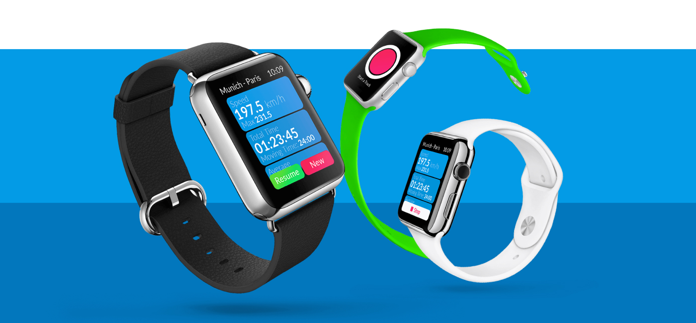
The smartwatch interface was designed to mirror the mobile app's features but in a more streamlined and direct way. It includes point-based recording for tracks and single points, with predefined recording profiles for common use cases such as high-resolution or battery-saving modes.
Additionally, users can define custom profiles to meet their specific needs. The app allows for fine recording of tracks once the device is plugged into charging and offers the ability to visualize starting and standing points for a more organized view.
In terms of functionality, users can work with multiple subtracks within a single track, and these tracks and subtracks can be visually edited, including options for splitting, merging, and trimming. Live tracking is supported on the map, or in the background.
The app allows for easy customization of locations and tracks, including the addition of descriptions, tags, and photos. Detailed track statistics such as time, distance, speed, and elevation are displayed, along with graphical visualizations of speed and height profiles.